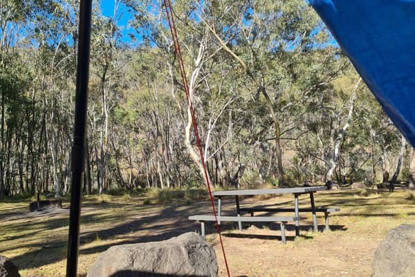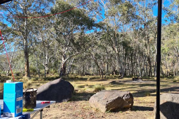
1. When entering this location, appreciate there are two sections of the campgrounds - a flatter Southern section for caravans and vans, and then multiple tent sites, in the Northern part of the ground, accessible by a loop road at the back of the campsite. Almost every single traveller pulls up and tries to jam in between others in the caravan section, and the tent sites remain unusued. There are 16 sites in total at this location. Spread out people! Stop trying to camp on top of each other! 2. The Orroral River runs at the rear of and to the West of this campground. There are multiple sandy (shallow) spots where you can have a splash on a hot day. Water is drinkable, but must be treated first. Walk out on the road, and follow the little steel grid footbridge over the causeway and follow the track to where the river is a bit deeper, for some potential dip areas. 3. Large (clean) toilet block (long drops), but please don't let the doors slam. No power and no dogs allowed. No/very limited mobile phone reception at this location 4. There's a little 1.2 klm walking loop at the rear of the site. Here's the alltrails map for that trail: Orroral Campground Loop Track on AllTrails https://www.alltrails.com/en-gb/trail/australia/australian-capital-territory/orroral-campground-loop-track?sh=zdbxau&utm_medium=trail_share&utm_source=alltrails_virality 5. Or there are some much longer trails, including continuing out to the old historic Orroral Homestead. 6. If you follow the bitumen over the causeway (driving) you'll end up at a carpark for the old Orroral Tracking Station (no longer exists) - is not a camping or stay area. Rangers visit daily. You can join the Australian Alps Walking Track from the carpark, or head up to the Orroral Geodetic Observatory for amazing views! (hard 12 klm hike, up hill)