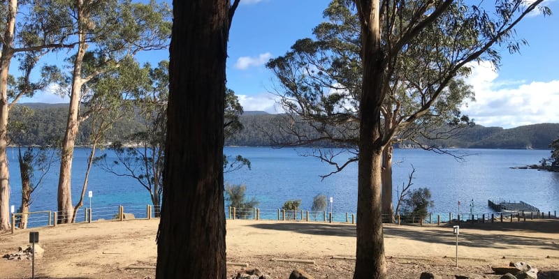
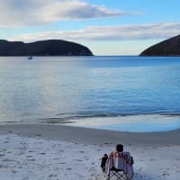
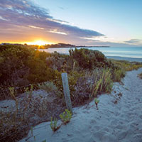
Fortescue Bay


Features
Popular
-
Toilets

-
BBQ Areas

-
Swimming

-
Allows fires

Popular
-
Pets Allowed

-
Free

-
Toilets
-
Drinking Water

-
BBQ Areas
-
Powered sites

-
Showers

-
Swimming
-
Allows fires
Activities
-
Water slide

-
Biking

-
Hiking

-
Fishing

-
Walking Trails

-
4WD Trails

-
Bar

Type
-
Next to car

-
Allotted Site

-
Short walk to car

-
Caravans

-
Camper Trailers

-
Glamping

-
Cabins Available

-
Pub

For Kids
-
Jumping pillow

-
Horse riding

-
Kids play park

-
Organised kids activities

-
TAWK Supporters

Ownership
-
National Parks

-
State Forest

-
Independent

-
BIG4

-
Kui Parks

-
Aspen Parks

-
Discovery Holiday Parks

-
Family Parks

-
Reflections

-
Top Parks

-
NRMA

-
Holiday Haven

-
Ingenia

Access
-
Hike in

-
Car

-
4WD only

-
Disabled Access

Other
-
Firewood for sale

-
Boat Ramp Nearby

-
Wifi

-
Phone Reception

-
Dump Spot

-
Garbage

-
Swimming pool

-
Water (Non Drinking)

-
Laundry

-
Coffee Nearby

-
Boat Cleaning Facilities

-
Cafe onsite

-
4WD beach driving

-
Captain Cook Holiday Park
10 Ratings
Pets Allowed
Drinking Water
Powered sites
35.1 km's away
$45 -
Discovery Parks - Hobart
3 Ratings
Drinking Water
Powered sites
38.9 km's away
$43 -
NRMA Freycinet Lodge
0 Ratings72.5 km's away
$435 -
Barilla Holiday Park
2 Ratings
Drinking Water
Powered sites
33.8 km's away
-
Discovery Parks - Mornington Hobart
1 Rating
Drinking Water
34.8 km's away
9 Reviews
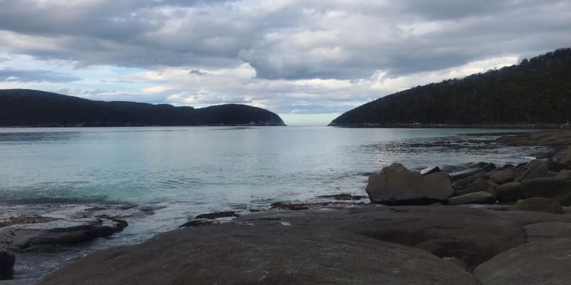
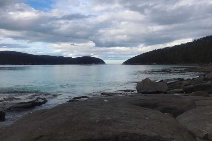
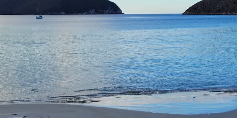
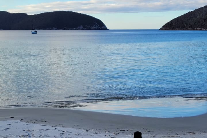
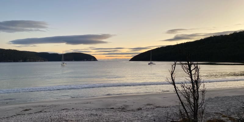
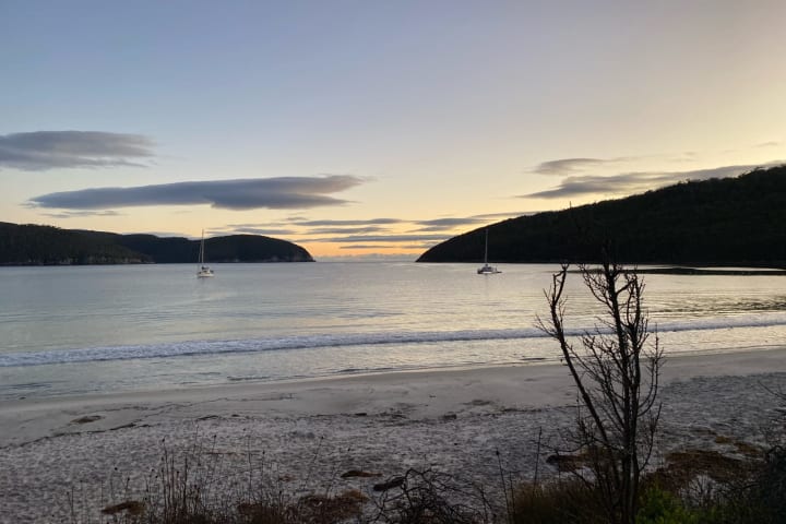
A well-maintained forested campsite by a white sand beach in the national park. - at end of approximately 12km gravel road navigable by any car though slippery in rain - campers self-register at booth (cash only) between May and October (office uncrewed); at office other times during daytime or via phone/email via national parks website - toilets - showers (fee via token from national parks office; office is uncrewed in winter) - fires not permitted autumn-spring; in fireplaces other times subject to bushfire hazard warning - no shops in vicinity-some at Port Arthur 4km south of Fortescue Bay turnoff from Arthur Highway. The campsites become crowded during holiday times and may be full. The day use area has BBQ at the shelter. Water is available via bubbler and should be rolling-boiled 3 minutes to remove any contaminants. WALKS NEARBY Campsite is at the start of the walking track to Cape Huay and Bivouac and Canoe bays in the other direction. Both are day walks. - the Cape Huay track has hundreds of steps and is a Grade 3 walk-some bushwalking experience recommended; bring water, wet weather, warm clothing - Fortescue Bay is the end of the Three Capes walking track ($).
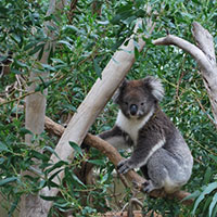
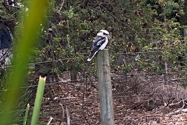
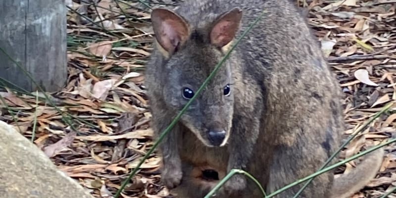
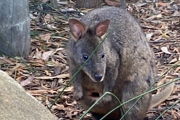
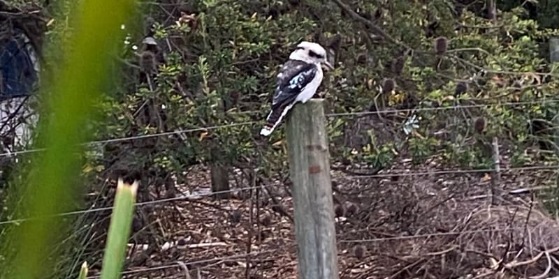
Great tent camping site which has very well maintained showers and toilets. Plenty of friendly wildlife so make sure that you put away any food before bed

Nice location. Clearly sign posted. Toilets and showers

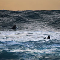
Awesome location, down dirt road so could be tough in a 2wd in the rain. Was right at the base of Cape Hauy track so awesome to get an early start for the hike!
Top Questions
Can big rigs fit here ?

Are we allowed to pitch tents here?
Do you have dumping for caravans? Drinking water and electricity?
Location
Fortescue Rd,
Fortescue,
Tasmania
/147.961934,-43.143536,9,0/300x200?access_token=pk.eyJ1IjoiYWlyY2FtcGF1IiwiYSI6ImNqdTg0aXZzNTIxYzEzeW9iN25xaG51eWQifQ.erq2STwV0mFKkODqqk7gPg&attribution=false)
Details
- Listing type
- Campsite
- Caravans
- Yes
- Management
- National Parks
- Website
- Visit
Average temperature
Closest
Chargefox (standard)
17.83 kmIndependent Port Arthur
17.83 kmCliftons Beach
108.45 kmWhite Beach
30.44 kmRelated lists
-
Top 10 National Park campgrounds near Primrose Sands, TAS
Australia has some of the most beautiful national parks in the world. Here are our favourite 10 national park campgrounds near Primrose Sands, TAS.
-
10 fantastic campgrounds with swimming near Little Howrah Beach, TAS
Like swimming? We've collected a list of 10 fantastic campgrounds with swimming near Little Howrah Beach, TAS for this summer.
-
Top 10 National Park campgrounds near South Bruny, TAS
Australia has some of the most beautiful national parks in the world. Here are our favourite 10 national park campgrounds near South Bruny, TAS.
- The top 10 warmest campsites in QLD for January
Nearby locations
Nearby campsites
-
Mill Creek Campground
Cape Hauy Track, Fortescue, Tasmania
-
Bivouac Camp
Tasman Trail, Fortescue, Tasmania
-
Wughalee Falls
Mount Fortescue Track, Cape Pillar, Tasmania
-
Taranna Cottages
Cnr Arthur Hwy & Nubeena Rd, Tarrana, Tasmania
-
Raoul Bay Retreat
Stormlea Rd, Stormlea, Tasmania
-
White Beach Tourist Park
128 White Beach Rd, Port Arthur, Tasmania
